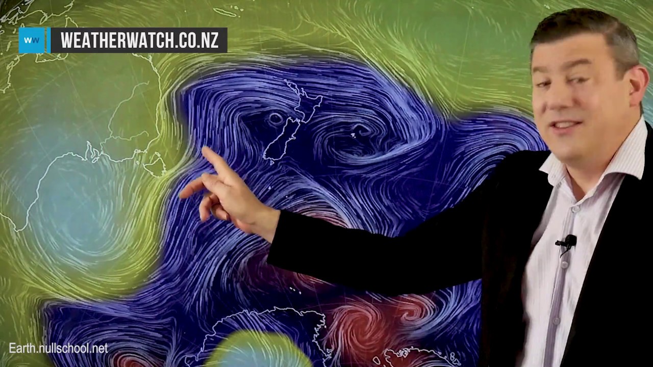
 We have a huge complex area of low pressure cover much of the Tasman Sea, all of New Zealand and the skies south and east of us.
 Low pressure brings unstable weather so heavy downpours, squalls and thunderstorms will continue on Monday along the western and northern North Island with gusty winds at times. However the South Island has a fairly calm Monday, ahead of a colder Tuesday and Wednesday coming.
As a storm well south of NZ influences our weather pattern for the next few days ahead, encouraging colder air and single digit highs for a large portion of the South Island on Tuesday and/or Wednesday.
High pressure somewhat arrives later this week.


0 Comments